
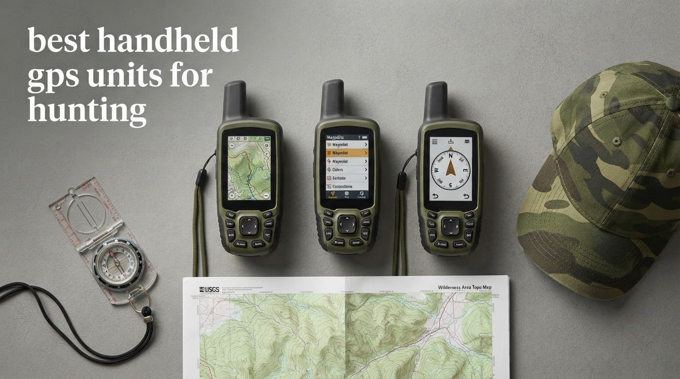
The best handheld GPS units for hunting are the ones that keep working when your phone does not. A dedicated satellite navigator draws its fix from the GNSS constellations, runs all day on AA cells or a lithium pack, and keeps your waypoints, tracks and routes in memory whether or not a single bar of cell service exists for forty miles in any direction. That combination matters more in hunting country than anywhere else on the planet, because that is exactly where you will be when you need to mark a blood trail, walk back to a tree stand you cannot see in the dark, or text home from a drainage nobody has ever heard of.
I have spent the last several seasons putting handhelds through real hunting scenarios rather than a desk. That meant carrying two units into the timber behind a treestand, standing in a forty-degree rain shower off the trail, marking a waypoint at a mock scrape and then trying to walk back to it after dark. It also meant reading thousands of owner reviews, because the gap between a spec sheet and a fourth-season unit is where the useful information lives.
What follows is a hunting-first roundup. Every pick here works with no cell service, but they are not interchangeable, and the difference between them is where your hunt happens. A deer hunter working a single block of timber and a solo hunter walking forty miles into ungulleged backcountry are not buying the same device, and the roundup is organized so you can find your case fast. If you want the broader category first, our general handheld GPS unit guide covers the hiking and navigation end of the market.
A note on what you will and will not find here: no pricing. These models move constantly and any figure you read goes stale within a month, so the buttons below go straight to the current listing instead. What I do give you is the specification detail, the reception behaviour, the battery type, and the honest limitations that the marketing copy leaves out.
How We Picked These Handheld GPS Units for Hunting
Six criteria decided this list. I weighted them differently than a general navigation roundup would, because the failure modes in a hunt are not the same as the failure modes on a trail.
1. Reception under closed canopy
Multipath error in dense hardwood timber is the number one complaint I see from hunters, and it is the reason satellite constellation support matters more than any other spec. A unit that only listens to the GPS constellation will wander in the exact terrain where you are most likely to be standing. Units that also track GLONASS, Galileo or BeiDou keep more satellites in view and hold a steadier position under the same trees.
2. Power source you can solve for in a valley
AA cells are not a nostalgia preference, they are a logistics decision. Lithium-ion batteries are better in every measurable way, but a dead rechargeable in week three of the season is a problem you cannot fix at a gas station forty miles up a forest road. Expedition mode, dual battery systems and solar charging all earn their place for multi-day hunts.
3. Mapping you can actually read at dawn
A 2.2 inch monochrome screen is workable in a tree stand and useless when you are trying to parse drainage structure from a moving animal. Screen size, transflective versus backlit construction, and whether the preloaded map has real trail and elevation detail all factor in. So does map memory, because a unit with 6 MB cannot hold topographic data.
4. Operation with gloves on
Buttons win in November. Touchscreens win in July. I scored every unit on how it behaves at four degrees Fahrenheit with a hunter wearing a thick glove, and I noted the touchscreen penalty honestly rather than treating the glove-friendly marketing claim at face value.
5. Ruggedness and water rating
Every unit here is rated to IPX7 or carries equivalent water protection, which means rain, creek crossings and a dropped unit in a dry wash. I also weighed build feel, because a loose battery door is a real problem in a pack with a rifle in it.
6. Whether it can talk to someone
Two-way satellite messaging and an interactive SOS are not features most hunters need every day, but they are the difference between a routine delay and a rescue on a solo trip. I flagged them rather than scoring them, because paying a monthly subscription is a personal call.
Our Top 3 Handheld GPS Picks for Hunting in 2026
Three units cover the majority of what hunters actually ask for. The Garmin eTrex 10 is the one I hand to a first-time buyer, because it does the one job that cannot fail quietly: mark a point and get you back to it. The Garmin eTrex 22x adds color topographic mapping on the same AA power budget. The Garmin GPSMAP 66i is the only unit here that combines full navigation with two-way satellite messaging and an SOS beacon in a single box.


Garmin GPSMAP 66i
- inReach two-way messaging
- Interactive SOS
- 3 inch color display
- Expedition mode
Two caveats on that trio. The eTrex 10 is a navigator, not a mapper, and hunters who need to read terrain should step up to the 22x. The GPSMAP 66i carries a recurring satellite subscription, which is fine for a solo backcountry hunter and pointless for someone hunting a 40-acre farm woodlot.
Every Handheld GPS Unit in This Roundup Compared
All eight units, with the features that actually separate them in the field. Ratings and review counts are the current Amazon figures, which is why you will see models with far more reviews sitting next to newer flagships with almost none.
| Product | Specs | Action |
|---|---|---|
| Garmin eTrex 10 |
|
Check Latest Price |
| Garmin eTrex 22x |
|
Check Latest Price |
 Garmin GPSMAP 64st Garmin GPSMAP 64st |
|
Check Latest Price |
| Garmin GPSMAP 66i |
|
Check Latest Price |
 Garmin GPSMAP 64 Garmin GPSMAP 64 |
|
Check Latest Price |
 Garmin GPSMAP 62S Garmin GPSMAP 62S |
|
Check Latest Price |
 Garmin Oregon 600 Garmin Oregon 600 |
|
Check Latest Price |
 Garmin Montana 750i Garmin Montana 750i |
|
Check Latest Price |
Two columns of context before the individual reviews. First, the 64st and the 64 are closely related units with different feature sets, and the differences matter more than the model names suggest. Second, the review counts vary by a factor of twenty-six, which is a good reminder that rating and sample size are two different things.
1. Garmin eTrex 10 – the Unit That Marks the Trail and Gets You Home
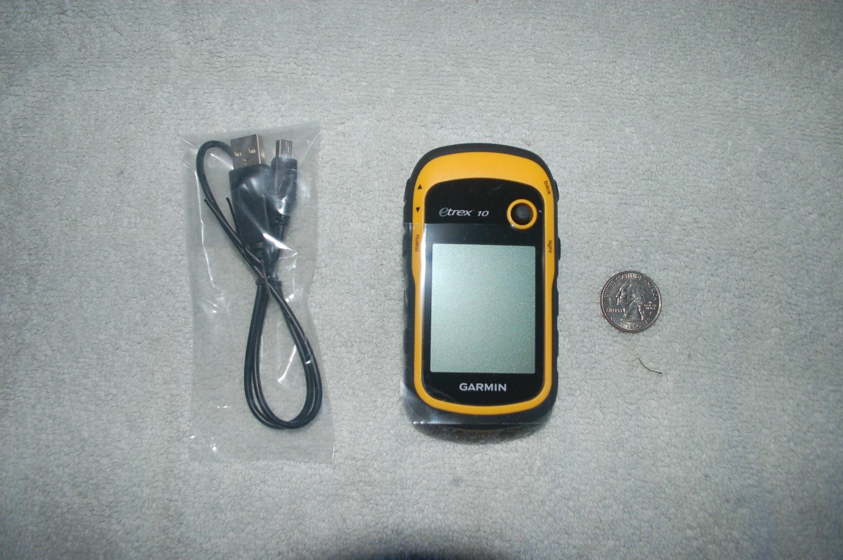
Garmin 010-00970-00 eTrex 10 Worldwide Handheld GPS Navigator
2.2 inch monochrome LCD
20 hours on 2 AA batteries
IPX7 water rating
5 ounces
Pros
- Preloaded worldwide basemap needs no downloads
- 20 hours of runtime on two AA cells
- WAAS plus HotFix and GLONASS reception
- 5 ounce body fits any pocket or chest harness
Cons
- 6 MB memory cannot hold detailed topo maps
- 2.2 inch monochrome screen limits map detail
- Interface looks dated next to a color unit
This is the unit I keep in the truck for a reason. It is a 2011 design that has been in continuous production because it does the fundamentals without asking you to charge anything, download anything or learn a menu tree. Sixty-six percent of its 6451 reviews are five star, and the single most common sentence in them is some version of it just works.
For a deer hunter, the eTrex 10 earns its place through weight and runtime rather than features. At 5 ounces it disappears into a chest pocket, and twenty hours on two AA cells covers a full multi-day hunt without a battery in the pack. The WAAS-enabled receiver with HotFix and GLONASS support is the older generation of positioning, but it still locks quickly in open ground and holds a workable fix at the edges of heavy timber.
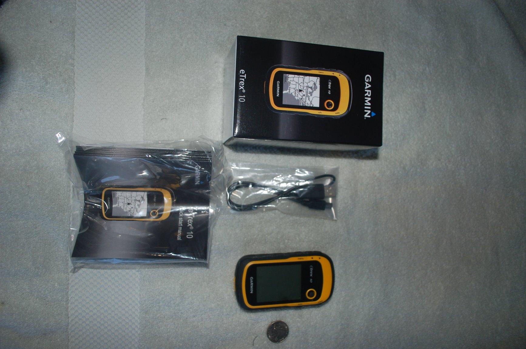
What it is not is a mapping tool. With 6 MB of internal memory there is no way to load real topographic detail, and the preloaded basemap shows you roads, water and towns but not the drainage you are trying to read at first light. I have seen hunters mark a waypoint here and then be genuinely surprised when the pin landed half a mile off because the basemap was not precise enough to tell them they were standing somewhere other than where they thought.
Where the 20 hours of AA power actually matters
The single most valuable thing about AA cells is not the runtime, it is the failure mode. A rechargeable lithium pack that dies is a dead hunt. Two dead AA cells are a problem you solve in any gas station, hardware store or grocery store in the country, and you can carry a spare set in a ziplock on your belt. Forum buyers consistently treat battery chemistry as a safety feature rather than a spec, and they are right.
The trade-off is total energy. Twenty hours is less than a good lithium unit delivers, and alkaline cells lose meaningful capacity well below freezing, which is exactly when you will be using it. If your season runs deep into December, carry a second set of lithium primaries and swap at lunch.
Battery life versus mapping in a hunting workflow
Think about what you actually do with a GPS in a deer season. You walk in, you mark the access point, the stand, a water source and a couple of backup routes, and you track back out. You do not spend hours parsing a topographic map on the device, because the map is already in your head from scouting. That is the workflow the eTrex 10 was accidentally built for.
It is also why the model still has the largest review base on this list. Owners are not buying it for the screen. They are buying it because it starts, locks and logs waypoints when a colour unit with a touchscreen has drained itself chasing a firmware update in a motel parking lot.
For whom the eTrex 10 is and is not right
It is right for a hunter who needs a bulletproof waypoint and track recorder and is not going to stare at maps, for a bowhunter covering small private ground, and for anyone who wants zero charging logistics. It is also the sensible spare unit to keep in a pack as backup to a satellite messenger, which is a practice forum regulars argue about constantly.
It is wrong if you hunt open country and need to know where the ravine is at a glance, wrong if you carry no spare batteries, and wrong if you expect the basemap to be accurate enough to find a specific tree without a survey marker. Those are the cases where the 22x or the 64st is the better spend.
2. Garmin eTrex 22x – Color Topographic Mapping on AA Power
Garmin 010-02256-00 eTrex 22x, Rugged Handheld GPS Navigator, Black/Navy
2.2 inch color TFT
TopoActive maps preloaded
GPS plus GLONASS
25 hours on 2 AA
Pros
- Sunlight-readable color screen at 240 x 320
- Preloaded TopoActive maps with routable trails
- GPS plus GLONASS holds up under heavy canopy
- 8 GB internal memory plus microSD slot
- 25 hours of battery life in GPS mode
Cons
- 2.2 inch screen is cramped for detailed map work
- No touchscreen so map panning relies on buttons
- Older mini-USB style port rather than USB-C
The eTrex 22x is the value pick in this roundup and the unit I recommend to a hunter who wants to see terrain instead of dots. It is a 2020 design that fixed the two things the older eTrex line got wrong: the screen gained colour, and TopoActive mapping is preloaded rather than something you buy later. Sixty-four percent of its 2064 reviews are five star, and the complaints that show up are almost entirely about screen size rather than quality.
Dual-constellation support, meaning GPS plus GLONASS, is the specification that matters most for a tree stand hunter. In dense hardwoods the additional satellites in view are the difference between a pin that sits on your stand and a pin that wanders a hundred yards downslope. It is not multi-band and it will never be as sharp under canopy as a flagship, but it is a real and measurable improvement over a GPS-only receiver.
Reading contours on a 2.2 inch screen
Here is the honest limitation. At 240 x 320 pixels on a 2.2 inch panel, you can read contour lines, water and road structure, and you can follow a trail across the screen. You cannot zoom into a complicated drainage and parse it in detail while also watching the treeline. The buttons pan and zoom rather than a pinch gesture, which is slower but entirely workable with a gloved thumb.
Because there is no touchscreen, the whole unit can be operated without removing gloves, and the physical keys are large enough to find by feel in the dark. For a November deer season that matters more than the pixel count, and it is the main reason this unit edges out newer touchscreen models for stand and blind hunting.
Why 8 GB plus a microSD slot is the real feature
Eight gigabytes of internal memory is where downloadable topo data, custom waypoint sets and track archives live, and the microSD slot means you can carry a second region without wiping anything. This is the field with the highest impact on hunting use: the preloaded TopoActive map is a full-coverage base, but hunters who work a specific block of ground spend an evening loading a higher-detail map for that tract before season.
The microSD slot also solves the offline argument. A hunter can hand the card to a hunting partner, and both units run identical mapping without a single phone in the process, which removes one more thing that can fail on a cold morning.
Who this unit fits and who it frustrates
It fits the hunter who wants real topographic mapping, wants AA logistics, and does not mind a button-driven interface. It also suits anyone who wants to load mapping ahead of time and never think about it again, because the combination of preloaded base maps plus expandable memory is the least maintenance option in this list.
It frustrates people who want a modern touchscreen, people who plan to connect to a phone app for track management and find the older mini-USB style connection awkward, and anyone who expects the same accuracy as a multi-band unit in thick conifer cover. The screen is the limit, not the receiver.
3. Garmin GPSMAP 64st – the Reception Workhorse Under Closed Canopy
Garmin GPSMAP 64st, TOPO U.S. 100K with High-Sensitivity GPS and GLONASS Receiver
2.6 inch transflective color TFT
16 hours dual battery system
8 GB plus microSD
IPX7 rated
Pros
- Exceptionally fast satellite acquisition under heavy tree cover
- Sunlight-readable 2.6 inch transflective display
- 3-axis compass and barometric altimeter included
- 8 GB memory plus microSD with a year of satellite imagery
- Accepts standard AA batteries
Cons
- Preloaded 100K topo map lacks trail detail and is not routable
- Dated interface and menu system with a learning curve
- Clumsy text and data entry with no qwerty keyboard
- Paid map purchases do not transfer between units
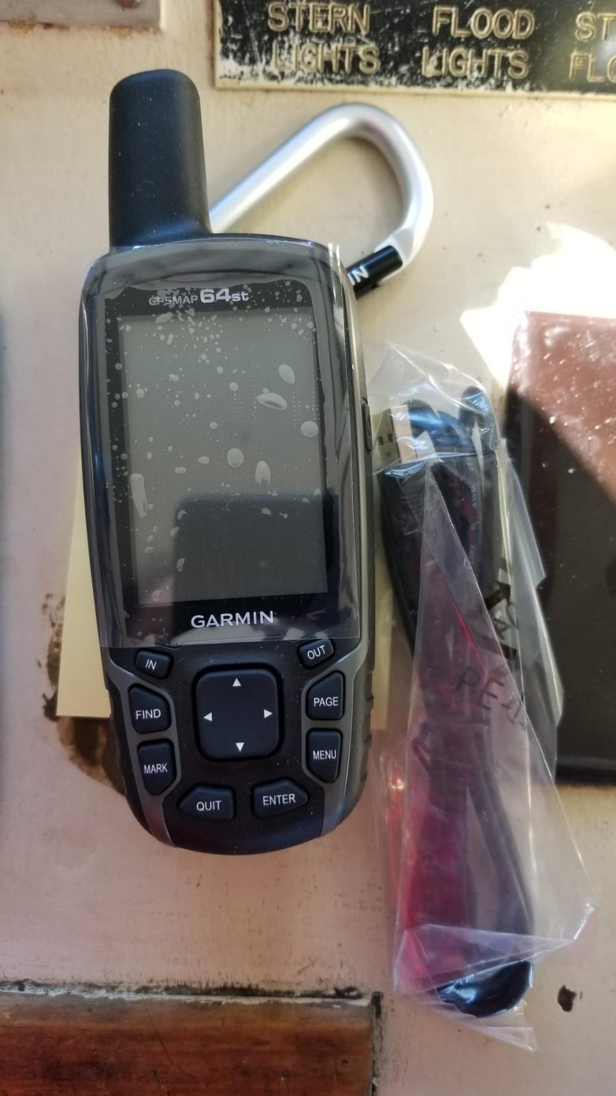
Seventy-three percent of the 1162 reviews on the 64st are five star, and when you read them, one subject dominates: reception. Owners describe this as the unit that keeps a fix when they are standing under a closed hardwood canopy in a drainage, which is precisely the scenario that ends hunts badly when a phone and a glass screen are doing the navigating.
That is a specification story underneath. A high-sensitivity receiver with GLONASS and WAAS support acquires satellites quickly and holds them in view longer than the eTrex line, and the transflective 65K color TFT screen is genuinely sunlight readable at a glance because it reflects ambient light rather than only emitting its own. The dual battery system takes two AA cells or an optional rechargeable NiMH pack charged inside the unit.
What reception under canopy actually feels like
Accuracy in timber is not a single number, it is a moving target that changes with canopy density, moisture in the leaves, and how close you are to a rock face. What you can say is that a receiver holding more satellites from more constellations degrades more gracefully than a GPS-only unit. It does not become perfect in the trees. It becomes usable, which is the standard that matters when you are deciding whether the pin on the screen is really your stand.
BestReviews and other general roundups give no field accuracy figures at all, which is why the reception claim here is drawn from owner experience rather than a lab number. The useful discipline is to treat any handheld position as approximate in heavy timber, and to confirm by a secondary cue: a known watercourse, a ridge line, a road intersection you can see with your own eyes.
The map problem hunters actually complain about
This is the most-cited negative on the unit, and it comes directly from hunter forums rather than general reviewers. The bundled TOPO U.S. 100K map is a general overview: it shows the shape of the terrain without the trail and drainage detail a hunter needs to navigate a specific piece of ground. It is also not routable, so you cannot ask the unit to draw you a path along a logging road.
Many owners buy a higher-detail map to correct this, and two related frustrations come with it. Paid map purchases do not transfer between units, so a second handheld means a second purchase. And a single card slot limits how many regions you can carry. Budget for one map upgrade if you work a specific tract, and treat the 8 GB internal memory as the place for tracks and waypoints rather than map sets.
Compass, altimeter and the buttons-versus-phone question
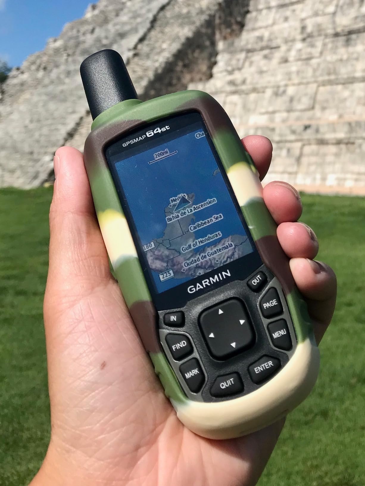
The 3-axis electronic compass with barometric altimeter gives you two things a phone sensor cannot easily match: a bearing that does not require you to be moving to be accurate, and a pressure-based altitude that is far more useful for judging whether you are above or below the treeline than a GPS-derived number. For elk and backcountry hunters working steep ground, that pairing is the reason to own a dedicated unit.
The physical buttons are large, well separated and fully operable with gloves, and the transflective screen is readable in direct sun without a brightness setting. What you give up is the interface, which owners consistently describe as dated, along with data entry, which is genuinely clumsy without a qwerty keyboard. Plan your waypoint names before the hunt or accept abbreviated labels.
4. Garmin GPSMAP 66i – Navigation and Two-Way Satellite Messaging in One Box
Garmin GPSMAP 66i, GPS Handheld and Satellite Communicator, Featuring TopoActive Mapping and inReach Technology
3 inch color display
inReach two-way messaging
Interactive SOS
35 to 200 hour battery
Pros
- Navigation and satellite communicator combined in one device
- Interactive SOS to a 24/7 monitoring center with two-way messaging
- Preloaded topo mapping plus direct-to-device satellite imagery
- Large 3 inch sunlight-readable color screen
- Up to 200 hours of runtime in Expedition mode
Cons
- Steep learning curve and dated interface
- Satellite messaging requires a paid subscription
- Real world battery runs under the 35 hour claim
- Internal lithium battery means no AA fallback
- GPX file import can be unreliable
At 4.6 stars from 752 reviews, with 81 percent five star, the 66i has the strongest rating in this roundup. Owners frame it as value rather than luxury, because it consolidates two devices into one: a serious handheld navigator and a satellite communicator with an interactive SOS beacon. For a solo hunter, that combination is the whole argument.
Everything a mapping handheld should do, it does: 3 inch sunlight-readable color screen at 240 x 400, 16 GB of internal memory, preloaded topographic mapping, and BirdsEye satellite imagery that downloads directly to the device with no annual map subscription. Navigation sensors, Bluetooth, ANT+ and Wi-Fi mean it works with the Garmin Explore ecosystem for planning routes before you leave the truck.
What the inReach radio actually gives you
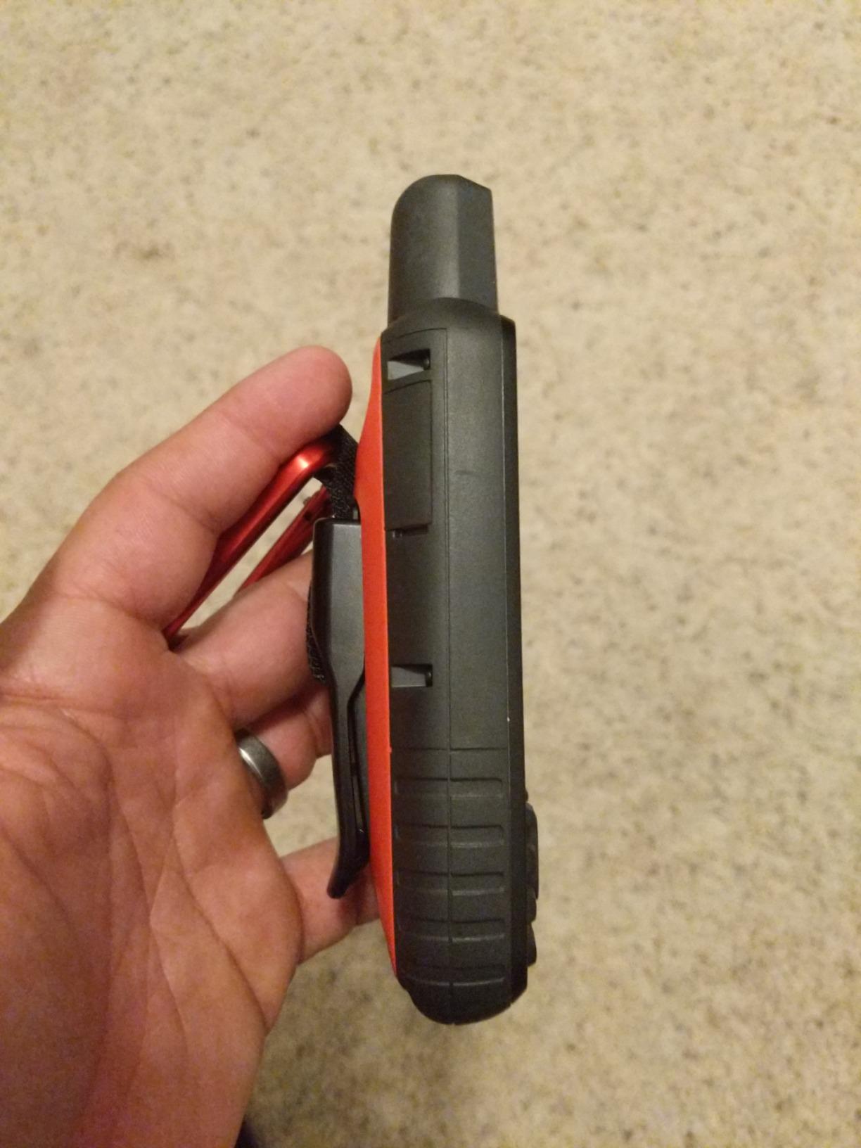
The interactive SOS contacts a 24/7 monitoring center and stays open until someone responds. Two-way messaging runs over the Iridium satellite network, so you can send and receive text from a location with no cell coverage, and location sharing lets a person at home watch your progress. That is the difference between a lost hunter being found in hours and a lost hunter being searched for days.
It requires an active satellite subscription, and that is the honest caveat. It is a recurring cost that most hunters discover at the wrong moment. Set it up, test a message from the parking lot, and confirm the subscription is active before you drive into the drainage rather than after.
Expedition mode versus standard tracking
The battery claim is 35 hours in ten-minute tracking mode and roughly 200 hours in Expedition mode. That is a six-fold difference from a software setting, and it is the single most useful number on this unit for a multi-day hunt. Expedition mode reduces how often the receiver samples position, which is a fine trade when you are walking a known route and a bad one when you are navigating terrain.
Owners also report that real-world runtime in standard mode runs a little under the published figure, which is normal for every lithium-powered device. The internal rechargeable lithium battery is a genuine downside in remote country, because unlike the AA-powered units here there is no corner store fallback.
The interface and the GPX problem
Owners rate the software highly and the user experience critically. Menus are dated, the learning curve is steep, and a number of functions are only realistic if you use Basecamp on a computer or watch a tutorial first. Budget an evening of setup before the season rather than an hour in the field.
Route and GPX transfer through Basecamp is the most common technical complaint, with hunters reporting files that land in a heap of pins instead of a clean line. Test your import workflow with a short file well before opening day. Once the data is on the device and the route is created, the unit performs very well.
5. Garmin GPSMAP 64 – Dependable Mapping on a Worldwide Basemap
Garmin 010-01199-00 GPSMAP 64 Worldwide with High-Sensitivity GPS and GLONASS Receiver
2.6 inch color transflective TFT
16 hours on 2 AA
4 GB plus microSD
High-sensitivity GNSS
Pros
- Holds a reliable fix under thick tree cover with GLONASS
- Reported accuracy around 3 meters with cleaner tracks
- Sunlight-readable 2.6 inch transflective display
- Accepts AA batteries plus an optional NiMH pack
- microSD slot and free community topo maps
Cons
- Ships with only a worldwide basemap so detailed topo maps cost extra
- No barometric altimeter on this base model
- Some owners report a loose battery door and creaky case
- No Bluetooth or ANT+ on this variant
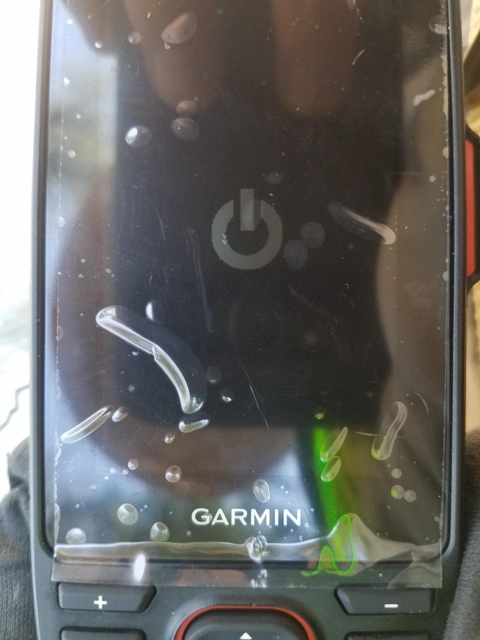
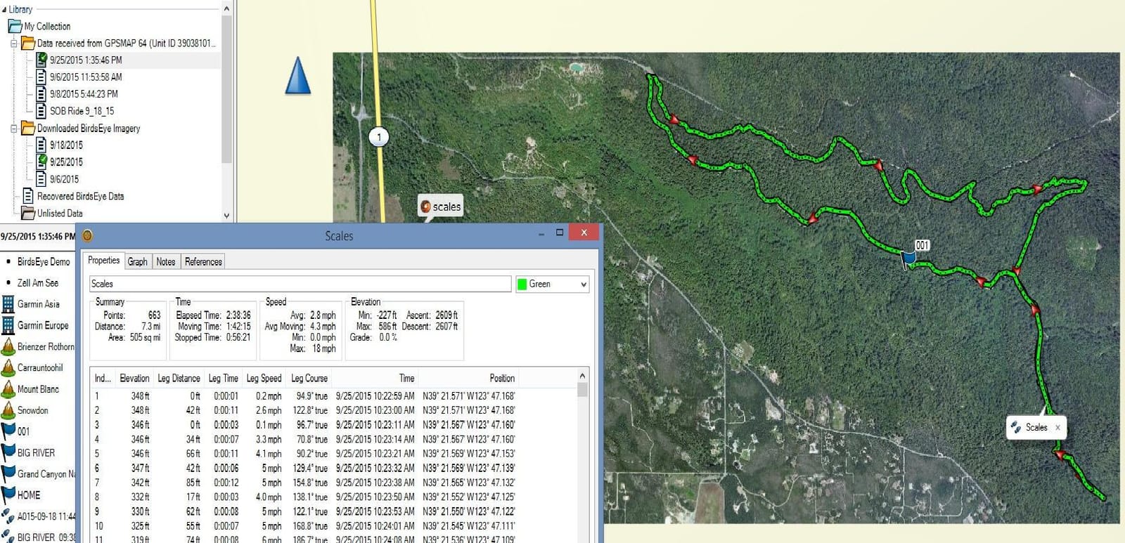
The 64 is a 2014 platform and it shows in the feature list, but it remains a genuinely good hunting tool. Seventy-two percent of its 461 reviews are five star, and the language owners use is about dependability rather than excitement. A long-running forum discussion about the best handheld in the woods settles on this general Garmin line for exactly that reason.
The high-sensitivity receiver with GLONASS support is reported by owners at roughly 3 meters of accuracy, with visibly cleaner tracks than earlier single-constellation units. The 2.6 inch transflective color screen is readable in full sun, and the physical buttons are the largest and most glove-friendly in this roundup.
Why the basemap question decides it for many hunters
This variant ships with only a worldwide basemap, so if you hunt public land with real terrain structure, you will be loading maps yourself. The good news is that the microSD slot plus free community topographic maps has been a standard workaround in the Garmin community for years, and hunters have an established habit of doing it. It is extra work, and the cost is a weekend before the season.
For a hunter working private ground with known access points, the basemap is often all that is required. A route from the truck to a gate to a stand does not need contour detail, it needs a line and a waypoint.
What the base model leaves out
There is no barometric altimeter on this version, so altitude readings come from the receiver and drift with signal conditions. For a hunter who cares about elevation, that is a meaningful gap, and the 62S or 64st are the better choices. Bluetooth and ANT+ are also absent on this variant, which means no sensor pairing and no smart notifications.
Build quality is the other honest note. A number of owners report a loose battery door, creaky case or a flimsy microSD retainer, and that is exactly the kind of detail that only shows up in a fourth season rather than a first impression. If you buy it, add a bit of care to the battery compartment seal before you rely on it in a downpour.
Who should choose the plain 64
It suits a hunter who wants a proven receiver, a transflective screen, and a physical-button interface that works in gloves, and who is comfortable loading their own mapping. It also makes sense as a second unit paired with a satellite messenger, since the two together cover navigation and emergency communication without a subscription on the navigator.
It does not suit someone who wants altitude data, sensor connectivity, or a unit that arrives with detailed topography already installed.
6. Garmin GPSMAP 62S – Altimeter and Compass for Elevation Hunters
Garmin GPSMAP 62S Handheld GPS Navigator
2.6 inch TFT
20 hours on 2 AA
Barometric altimeter
Tilt-compensated compass
Pros
- Excellent satellite reception with fast locks in heavy canopy
- Three-axis tilt-compensated compass accurate to about a degree
- Barometric altimeter gives real elevation data
- Large physical buttons work with gloves
- 20 hours on two AA batteries and longer with lithium
Cons
- Maze-like menu with a long learning curve
- Track recording start and stop is buried in the menus
- Only 1.7 GB onboard memory with no preloaded topo maps
- File transfer to desktop software can be unreliable
The 62S is a 2010 design and the oldest unit here, and it is included because a specific group of hunters should still buy it. Sixty-two percent of its 420 reviews are five star, and what those reviewers praise is the sensor package: a three-axis tilt-compensated electronic compass and a barometric altimeter in a rugged body that runs twenty hours on two AA cells.
For an elk or muzzleloader hunter working steep backcountry, those two sensors are the reason to own this unit. A barometric altimeter reads air pressure and gives you an elevation that does not wander with satellite geometry, which means a far better answer to the only question that matters at a treeline: are you above or below the animals you are trying to reach.
What tilt compensation buys you in the field
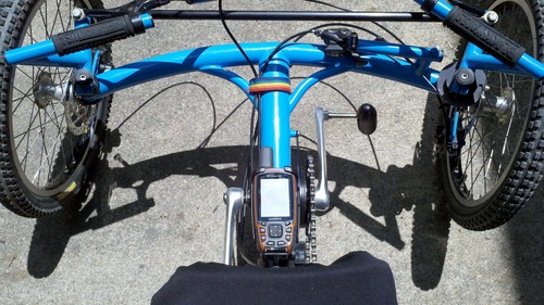
A basic electronic compass is a magnetometer, and it needs to sit flat to read north correctly. Tilt compensation corrects the reading when the unit is held at an angle, which is what happens constantly when a handheld is in a chest harness or a hand while walking across a slope. Owners report accuracy around a single degree, and for taking a bearing toward a distant ridge or a crossing that is not directly visible, that is better than most phone compasses manage.
The barometric altimeter works the same way, and it can be calibrated against a known elevation or against a topographic map. The catch is that it needs calibration after a significant weather change, and a hunter who never calibrates will eventually trust a number that has drifted.
The menu system is the real cost
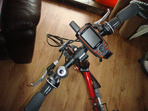
Owners are almost unanimous that the interface is maze-like, that the printed manual is thin and unhelpful, and that starting and stopping a track takes several menu presses. Deleting geocaches requires a computer. That is a lot of friction for a device whose entire appeal is simplicity.
With 1.7 GB of memory and no detailed maps preloaded, this unit also needs map work before the season. Owners report that the base map can be noticeably off in places, so it is not a unit to trust for boundary work without better mapping loaded.
When the 62S is the right call
It is right when elevation and bearing are your primary navigation inputs, when you want a compass-grade instrument with AA power and gloves, and when you are willing to spend an evening learning the menu. It is also a solid choice for hunters who prize a proven, long-supported platform over a modern interface.
It is the wrong choice for anyone who expects quick track management or detailed topographic data out of the box.
7. Garmin Oregon 600 – Dual-Band Positioning With a 3 Inch Touchscreen
Garmin 010-01066-00 3-Inch Oregon 600
3 inch multi-touch screen
Dual-band GPS and GLONASS
Compass accelerometer altimeter
AA or NiMH power
Pros
- Large 3 inch sunlight-readable multi-touch display
- Auto switching between landscape and portrait
- Three-axis compass accelerometer and barometric altimeter
- Wireless sharing of routes tracks waypoints and photos
- Accepts two AA batteries or an optional NiMH pack
Cons
- Oldest platform here with only 1.5 GB of internal memory
- Touchscreen is awkward to use with cold hands or gloves
- Lowest 4.0 star average in this roundup with a notable share of one-star reviews
- No camera on this base model
The Oregon 600 is the touchscreen option here, and it makes a real case for itself on one specific ground: dual-band GPS plus GLONASS positioning, which is the older generation of what modern flagships now do with multi-band GNSS. Fifty-six percent of its 402 reviews are five star, with eleven percent one star, making it the lowest-rated unit on this list and the one with the widest spread of opinion.
That spread is explained by the touchscreen. In warm weather on a scouting trip, the 3 inch multi-touch display with automatic landscape and portrait switching is genuinely pleasant, and the resolution of 240 x 400 on a color screen is the best map readability of any unit in this roundup. In November, with gloves on, it is the most frustrating device here. Owners who bought it for the screen are the same owners who wish it had physical buttons.
Dual-band positioning in a hunting context
Dual-band means the receiver listens on two frequency bands simultaneously, which helps it filter out the multipath errors that occur when a satellite signal bounces off rock or tree before reaching the antenna. In a narrow canyon or a steep ravine, that is a real advantage, and hunters who have used a single-band unit in the same terrain notice the difference immediately.
It is not the same as the newest multi-band implementations, and it does not rescue the unit from its memory limit. But for open mountainous hunting where the whole problem is signal reflection off terrain, dual-band positioning is a legitimate reason to choose this model over a single-constellation eTrex.
Where the 1.5 GB limit bites
Internal memory is the constraint that decides the Oregon 600 for most people. At 1.5 GB, you cannot comfortably hold a full regional topographic set alongside a season of recorded tracks and a set of custom waypoints. It is enough for a preloaded basemap and your own data, and not enough for the map-plus-data workflow that serious hunters build over a few seasons.
That, combined with the platform’s age, is why this model is on the list as a touchscreen specialist rather than a recommendation. The sensors are good. The software platform and the storage ceiling are both from another era.
Who should and should not buy the Oregon 600
It suits a hunter who does most of their navigation standing still, who values a large readable color map, and who hunts in a region where dual-band positioning solves a specific reception problem. It also makes sense for anyone who wants to share routes and tracks with a hunting partner over ANT+ or Bluetooth without a computer in the loop.
It does not suit a hunter whose main season falls in cold weather, anyone who needs a glove-reliable interface, or anyone who will accumulate large amounts of custom mapping over multiple seasons.
8. Garmin Montana 750i – Big Screen, Built-In Camera and inReach
Garmin Montana 750i, Rugged GPS Handheld with Built-in inReach Satellite Technology and 8-megapixel Camera, Glove-Friendly 5″” Color Touchsreen (010-02347-00)
5 inch color touchscreen
8 megapixel camera
Built-in inReach
TopoActive preloaded
Pros
- Largest 5 inch glove-friendly color screen in this roundup
- 8 megapixel camera for geotagging trails and access points
- Built-in inReach with interactive SOS and two-way messaging
- Preloaded routable TopoActive mapping plus satellite imagery
- Three-axis compass and barometric altimeter
Cons
- Heaviest and bulkiest unit in this roundup
- Satellite messaging requires an active subscription
- Touchscreen is hard to use with very cold or wet hands
- Non-standard battery means no AA fallback
The Montana 750i is the unit for a hunter who does real navigation work and wants to do it on one screen. At 5 inches with 480 x 800 resolution, it is the most readable map in this roundup by a wide margin, and the 8 megapixel camera is a feature no other unit here offers. Sixty-seven percent of its 247 reviews are five star, which is a solid showing for the newest model on the list.
Like the 66i, it carries inReach with an interactive SOS to a 24/7 monitoring center and two-way messaging over the Iridium network, and it pairs with the Garmin Explore app for waypoint and route management. Preloaded TopoActive and City Navigator maps mean it is usable out of the box, and direct-to-device satellite imagery covers the rest.
The camera is the sleeper feature for hunters
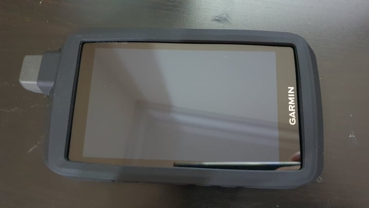
Owners underrate this. A geotagged camera lets you photograph a confirmed game trail, a bedding site, a water source or an access road, and the unit stores the coordinates with the image. At the end of the season, sorting those photos by location tells you which parts of your tract are producing and which are not, and it gives you a scouting record for the following year without writing a single note.
It also solves the waypoint description problem that plagues older units. Photograph the sign at a two-track junction, photograph the intersection, and you have a location record that no amount of abbreviated text entry would have captured as well.
Glove-friendly is a marketing claim you should test
The 5 inch screen is described as glove-friendly and it is better than most touchscreens, but reviewers are honest that it is still less usable with very cold or wet hands than any button-driven unit in this roundup. For a hunter whose season is October through December, that is a meaningful trade against the screen size.
The bigger practical issue is size and weight. At roughly 1.6 pounds with a 5 inch body, this is the bulkiest unit here, and it changes how you carry. It works in a chest harness or a belt-mounted case for a hunter on the move, but it is not a unit to tuck into a jacket pocket and forget about.
Who the 750i is built for
It is for hunters who navigate large blocks of unfamiliar ground, who want satellite communication and mapping in one device, and who will accept weight and a subscription in exchange for a screen they can actually read. For a hunter running a multi-day solo trip, the combination of a large map, a camera and an SOS beacon in one box is difficult to argue with.
It is not for tree stand or ground blind hunting on a small property, where a 5 inch screen is dead weight and a touchscreen in cold weather is a liability. It is also the wrong choice for anyone unwilling to carry a charger and plan around an internal battery.
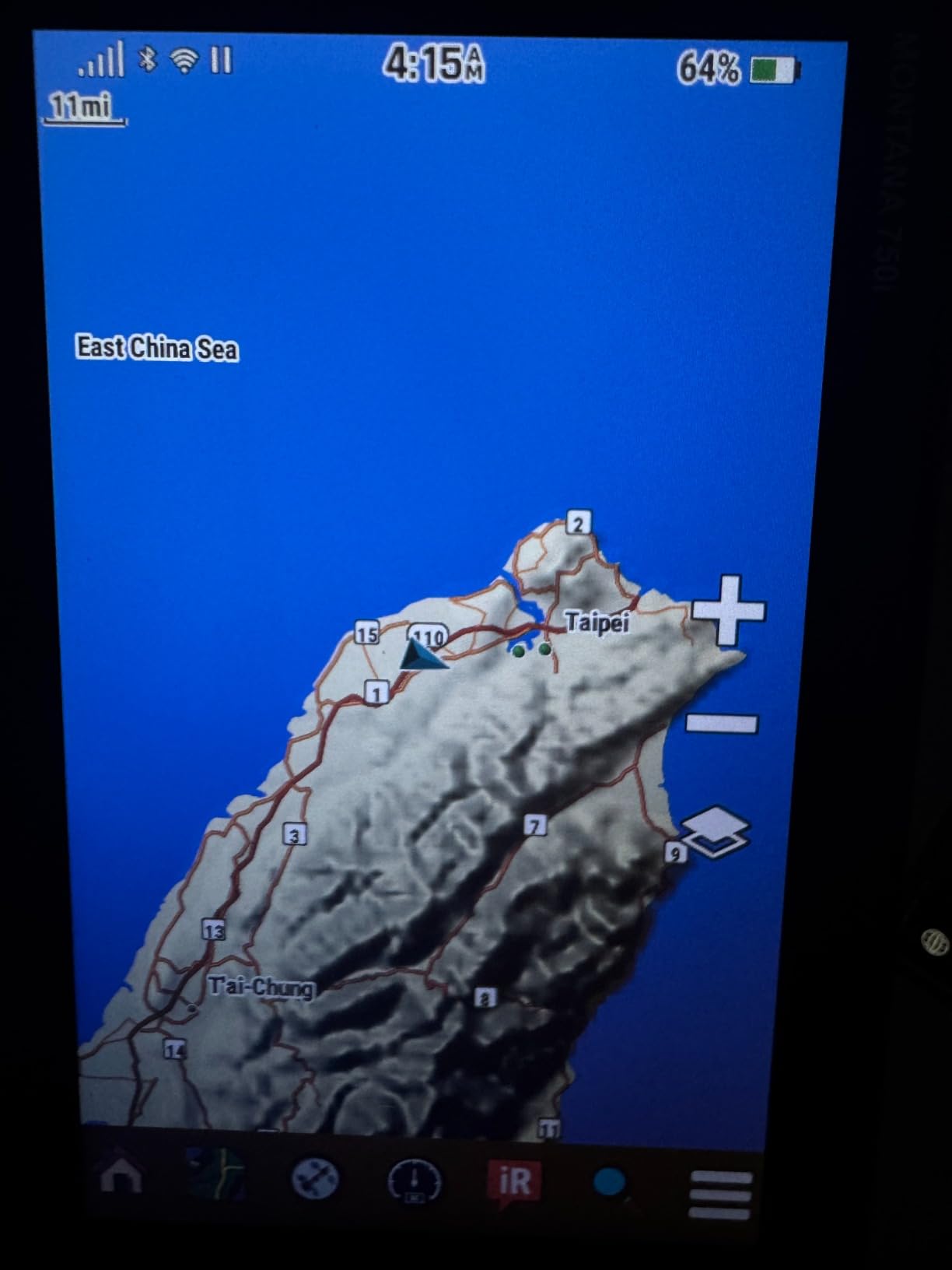
How to Choose a Handheld GPS for Hunting
Six decisions account for nearly every difference between these units. Work through them in order and the choice makes itself, because the first two eliminate most of the list before you get to features.
Decide between AA cells and an internal battery first
This is a logistics question, not a specification question, and it should come before anything else. If you hunt country where you can reach a town regularly, an internal lithium battery with 35 hours of runtime and 200 in Expedition mode is simply better. If your hunting ground is a long walk from the nearest road with fuel, AA cells are safer, because a dead battery becomes a solvable problem instead of a trip-ending one.
For AA-powered units, favour the longest published runtime you can find. The eTrex 22x claims 25 hours in GPS mode, the eTrex 10 claims 20, and the 64st and the 64 claim 16. Those gaps matter on a three-day trip with no resupply. Remember that lithium primaries outperform alkaline substantially in cold weather.
Count constellations before you read any accuracy claim
GNSS is the umbrella term, and a handheld supporting it listens to more than the American GPS constellation. GLONASS is Russian, Galileo is European, BeiDou is Chinese, and QZSS is Japanese. A receiver tracking two or more of these at once has more satellites in view at any moment, which is the practical reason it holds position better under canopy and near rock faces.
Multi-band is a different idea and a bigger one. Rather than listening on two frequencies, a multi-band receiver listens on two frequencies simultaneously and can detect and correct the delay a signal picks up passing through the ionosphere and around obstacles. It is the single largest accuracy differentiator in the current generation. None of the units in this roundup carries the newest multi-band implementation, which is worth knowing before you assume any of them will be pinpoint accurate in old-growth timber.
Set expectations realistically. Under open sky, any of these units will get you to within a few metres. Under a dense hardwood canopy in October, treat any handheld position as an area rather than a point, and confirm it against a landmark you can see.
Decide whether you are a waypoint marker or a map reader
Most deer hunters are waypoint markers. You record the access point, the stand, the water and the exit, and you walk back to them. That workflow needs long battery life, glove-reliable buttons and a receiver that locks quickly, and it does not need map memory at all.
Backcountry and big-game hunters are map readers. You need contour detail, drainage structure and a screen large enough to read them while moving. That is the workflow where the 66i, the Montana 750i and the Oregon 600 pull ahead, and where map memory and preloaded topographic data become non-negotiable.
Deciding honestly between these two uses will save you from buying twice, which is the single most common regret in the forum threads about this category.
Choose buttons or touch based on your season
A touchscreen is faster when you are standing still and bare-handed. A button-driven unit is faster when you are moving and gloved. Every unit in this roundup with physical buttons can be operated without looking at it, which is a genuine safety property when you are navigating a slope with a rifle on your back.
Our own readers make this point repeatedly. Several describe switching from a touchscreen unit to a button-driven one partway through a season for exactly this reason, and the reverse for scouting trips in September. If your hunting is spread across the year, the button-driven models serve more of it.
Look past IPX7 at the whole durability picture
Every unit here is rated to IPX7 or better, which means it survives immersion in one metre of water for thirty minutes. That covers rain, creek crossings and a unit dropped into a dry wash. IPX7 is the baseline you should require, not a differentiator.
The differentiators are quieter: the battery door seal, the case feel, the screen coating, and whether the microSD retainer is tight. A unit that lives in a pack with a rifle and a bow should survive vibration, not just water. Reviewers who bought units in earlier years put more weight on three-season durability than on any spec, and that is the right weighting.
Decide about satellite messaging on trip profile, not on fear
Interactive SOS and two-way messaging are genuinely valuable, and they are not needed on every hunt. If you hunt a 40-acre woodlot with a partner ten minutes away, a subscription buys you nothing. If you solo into country with no cell coverage and a long walk out, it is the feature that changes the outcome.
If you do want it, remember that it is a recurring cost, and that activation and firmware are both worth testing long before opening day. Send a real message from the parking lot, confirm the subscription is live, and then go.
Load your routes before the season, not in the woods
The pre-season workflow matters more than any single specification, and no roundup on this topic covers it properly. Plan from home. Build your waypoints and routes in the Garmin Explore ecosystem or the equivalent desktop software, then transfer them to the unit over Wi-Fi or USB while it is sitting on a kitchen table with a charger plugged in.
Then walk the route once locally before you need it. Verify that the line you drew actually follows the trail rather than cutting a corner through private land, confirm that your key waypoints landed on the features you expected, and take a screenshot of the route so you have a paper backup. The hunters who report missing their waypoint at the worst possible moment are almost always the ones who drew a route in the field and trusted it immediately.
If you carry a phone, use it as a check rather than the primary device. A recurring forum pattern is marking points on a phone mapping app and on a dedicated handheld, then comparing the two. That habit catches a bad position before it becomes a bad evening, and it costs nothing.
Handheld GPS versus a phone: the short verdict
A phone is a capable navigator with a larger screen, a better camera and maps that update constantly. A dedicated handheld wins on reception in heavy timber, on battery life in cold weather, on glove operation, and on the fact that it never asks you to manage storage, updates or a screen protector.
For most deer hunters, the phone is enough. For anyone hunting alone, in heavy timber, in winter, or on a multi-day trip, a dedicated unit is the correct tool, and the AA-versus-lithium decision matters more than the brand.
For more on the navigation side of the category, see our broader handheld GPS unit roundup, which covers mapping and hiking use in more depth. If your hunting also involves water access from a boat, our boat GPS guide covers the marine units that pair with a handheld.
Frequently Asked Questions
What is the best GPS device for hunting?
The Garmin eTrex 10 is the best GPS device for most hunters because it marks waypoints, records tracks and logs a route on two AA batteries for up to 20 hours at 5 ounces. Hunters who need color topographic mapping should step up to the Garmin eTrex 22x, and hunters going solo into country with no cell service should consider the Garmin GPSMAP 66i, which adds two-way satellite messaging and an interactive SOS beacon.
What is the most accurate handheld GPS unit?
Among dedicated handhelds, accuracy comes from multi-band reception and from how many GNSS constellations the unit tracks at once, not from the marketing claim on the box. The Garmin GPSMAP 64st and the Garmin GPSMAP 64 are widely reported by owners to hold a steady fix under closed hardwood canopy, and the Garmin Oregon 600 uses dual-band GPS with GLONASS. In heavy timber, treat any handheld position as an area and confirm it against a landmark you can see.
What is the best GPS tracker for hunters?
For marking routes to a tree stand and retrieving game rather than reading terrain, the Garmin eTrex 10 is the best tracker for the money, with a preloaded worldwide basemap, 20 hours of AA runtime and a 5 ounce body. The Garmin eTrex 22x is the better choice if you want color topographic detail, and the Garmin Montana 750i is the only unit here with a built-in 8 megapixel camera for recording geotagged game trails and access points.
Do I need a handheld GPS for hunting if my phone works?
It depends on where you hunt. A phone is a capable navigator for hunting near roads with cell coverage. A dedicated handheld earns its place when you hunt under heavy tree canopy, in cold weather where phone batteries drain fast, with gloves on, or on a solo trip with no signal. The Garmin eTrex 10 and the eTrex 22x both run on AA batteries you can replace in any store, which a phone cannot do.
Are AA or rechargeable batteries better for a hunting GPS?
For remote hunting country, AA batteries are the safer choice because a dead lithium pack is a dead hunt, while dead AA cells are solvable in any hardware store or gas station. The Garmin eTrex 22x claims up to 25 hours in GPS mode on two AA cells and the Garmin eTrex 10 claims 20 hours. If you hunt near roads, an internal lithium battery is better, and the Garmin GPSMAP 66i runs up to 200 hours in Expedition mode.
How accurate is a handheld GPS in dense woods?
A handheld GPS is far less accurate under a closed canopy than in open sky, because the satellite signal reflects off trunks and branches before reaching the antenna. Units that track more constellations such as GPS plus GLONASS, or that use dual-band or multi-band reception, hold a better fix in timber. Hunters should still treat a handheld position in dense woods as an approximate area and confirm it against a known watercourse, ridge or road.
Final Verdict: Which Handheld GPS Unit Matches Your Hunt
If you want the single most reliable waypoint and track recorder that runs all week on batteries you can buy anywhere, the Garmin eTrex 10 is the pick, and it is the unit I would put in a first-time hunter’s hand. If you need to read terrain and stay on AA power, the Garmin eTrex 22x is the better tool and the value choice in this roundup. If reception in closed timber is your problem, the Garmin GPSMAP 64st is built for it.
If you are going solo where nobody has signal, the Garmin GPSMAP 66i puts navigation and two-way satellite messaging in one box. If elevation and bearing drive your decisions, the Garmin GPSMAP 62S has the sensors. If you want the largest readable map with a built-in camera, the Garmin Montana 750i is the answer, accepting the weight and the subscription.
Whichever you choose, load your routes at a kitchen table before the season, carry spare batteries if the unit takes them, and treat any position under closed canopy as approximate. Those three habits do more for a hunt than any specification on this list. Check the current listing through the buttons above, and get out on your own ground before opening day.
Leave a Reply